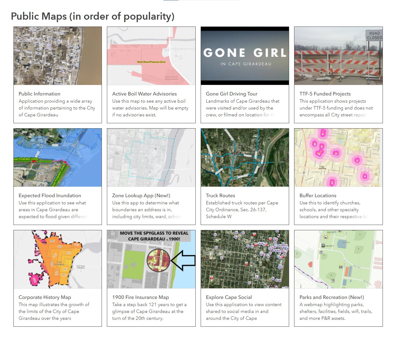
City of Cape Girardeau launches new mapping website
The City has published a new and improved GIS website at cityofcape.org/mapping. Members of the public are invited to explore interactive maps and applications revealing a wide array of data maintained by the Geographic Information System (GIS) department. Public datasets include boundary information related to zoning, city limits, wards, subdivisions, school districts, floodplains, as well as static data such as addresses, rental properties, lot lines, police and fire stations, streets, and more. You can also find a Parks & Recreation map to locate any number of park amenities or ballfields. Local area design professionals or contractors can contact the GIS department for credentials to access our interactive utility map showing data pertaining to the water, wastewater, and storm water systems, and the City's fiber and electric lines.

